

Minimum Flight Time

Image Transmission Distance

Computing Power Recognition and Tracking

FPV Camera
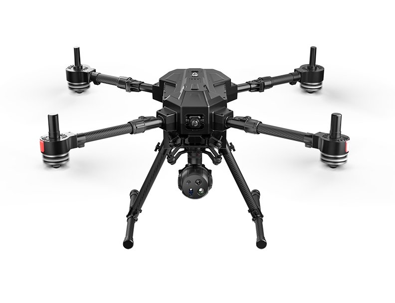
The P300 is an industry-grade intelligent inspection UAV with excellent performance, providing full-link and systematic flight solutions for customers in various industries. Integrating core advantages such as strong compatibility, high expandability and high reliability, this model is equipped with an innovative foldable fuselage design, a powerful power system and an advanced intelligent battery system. Meanwhile, it has rich load adaptation capabilities, making it an ideal choice for applications in various industry scenarios. It can provide stable and reliable technical support for various aerial operations and empower customers in various industries to maximize the value of UAV applications.
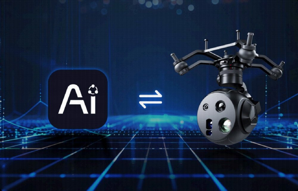
Built-in AI module with up to 10 TOPS computing power, enabling AI super-resolution and frame selection recognition of any object

Mini four-light pod, built-in AI computing power, no need for additional AI modules, equipped with 10TOPS computing power, faster recognition and operation speed, and more accurate target capture. Supports license plate recognition, power tower insulator detection, infrared recognition, custom object frame selection and recognition, multi-scenario intelligent recognition, suitable for inspection, security, emergency and other operation needs.
Supports an AI training open platform, allowing custom dataset training to realize more detailed functional applications, such as intelligent road disease identification and water surface garbage identification. The trained models can be directly imported into the pod.
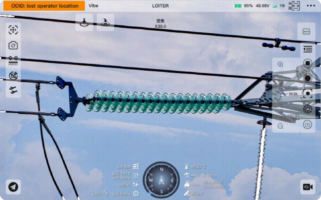
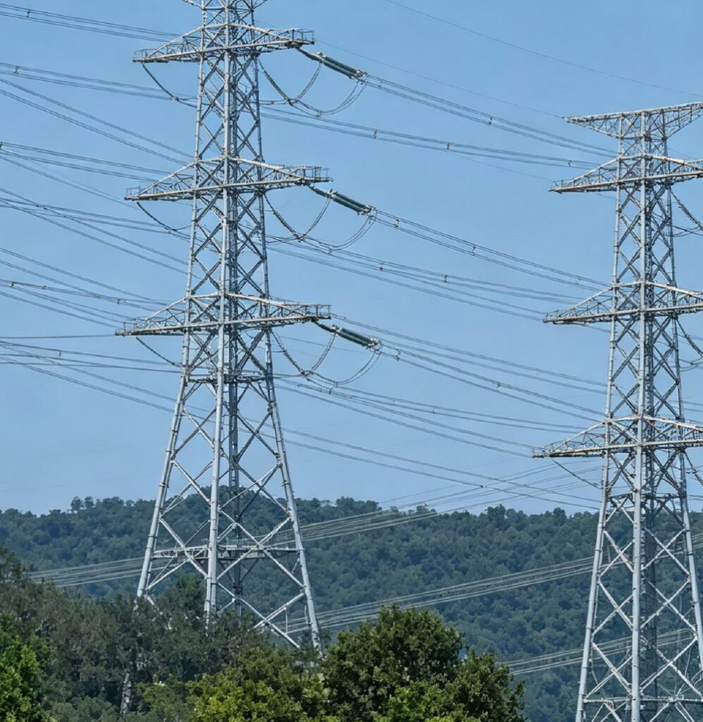
Equipped with a 48MP fixed/zoom camera, it supports a maximum 11x optical zoom and 165x hybrid zoom, clearly capturing more details of distant objects.
Supports EIS electronic image stabilization (video stabilization) function, providing a more stable and clear picture for inspection operations and facilitating fine inspection under high-definition zoom.
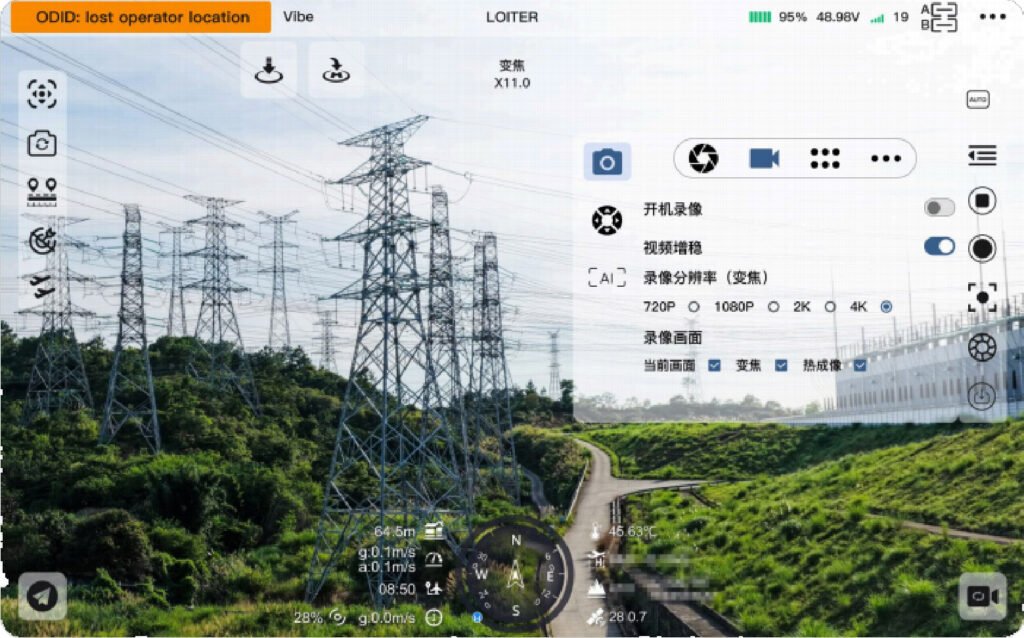
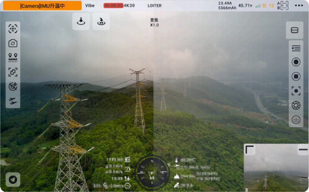
Supports the electronic defogging function to reduce the adverse impact of heavy fog on inspection operations.
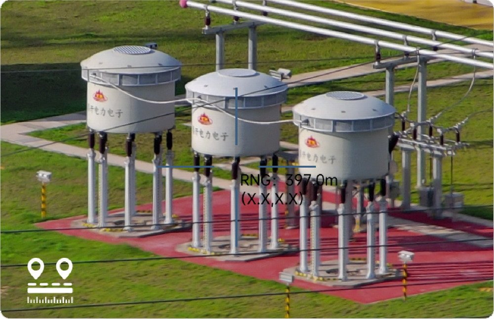
Supports laser ranging from 5 to 1200 meters with an accuracy of ±1 meter, and can achieve GPS coordinate measurement when combined with flight control equipment.

| Parameter Name | Technical Specifications | Parameter Name | Technical Specifications |
|---|---|---|---|
| Deployed Dimensions | 4738mm×673mm×425mm | Folded Dimensions | 428mm×412mm×425mm |
| Operating Time | 55min | Payload | 10.5kg |
| Working Environment | -10℃~40℃ | Image Transmission Distance | 35km |
| Maximum Flight Speed | 20m/s | Maximum Withstandable Wind Speed | 12m/s |
The data mentioned on this page is from laboratory tests, and the actual operating data shall be subject to on-site working conditions. The product’s performance may vary due to factors such as operating environment, temperature, and manual operation methods. Please use the product in accordance with the official product manual and operation guidelines.